
|
|
|
WelcomeThis website was created 26 years ago as Statistical Topics in Hillwalking for those interested in statistics and statistical topics pertaining to the British hills and mountains: measurement, classification, lists and data. Nowadays its main function is to provide a home for the Database of British and Irish Hills. The DoBIH was founded by Graham Jackson and Chris Crocker in 2001 with the intention of providing a comprehensive, up-to-date resource for British hillwalkers. It has grown considerably in the intervening years and is currently maintained by a team of eight.The DoBIH is offered as a downloadable database on this site, and as an online database at www.hill-bagging.co.uk. Both formats offer logging facilities and there is a facility for transferring personal ascent records from one to the other. Ancillary resources are divided between the sites. The main documentation is the Database Notes on this site, which also carries the revision history and change registers recording changes to various lists over time. Survey reports, the change control database and the GPS database are on Hill Bagging. The majority of bagging websites and apps take their data from the DoBIH, though not always from the latest release. Current release: v18.3 15 June 2025 The DoBIH seeks to present the most accurate hill data available. To this end we pioneered the use of differential GPS instruments and line surveying by automatic level and staff to obtain accurate measurements of height, drop and location. Our surveys are carried out to professional standards and data are accepted by Ordnance Survey. Well-publicised survey results include the reclassifications of Sgurr nan Ceannaichean and Beinn a' Chlaidheimh from Munro to Corbett, the reclassification of Cnoc Coinnich from Graham to Corbett, the de-twinning of the Corbetts Sgurr a' Bhac Chaolais and Buidhe Bheinn, the deletion of Knight's Peak from the list of Munro Tops, and the addition of three 2000ft summits, Mynydd Graig Goch in Wales and Thack Moor and Calf Top in England. Nowadays our main supplier of British survey data is Alan Dawson, and in Ireland, MountainViews with whom we have a data sharing agreement. Meanwhile the team makes heavy use of publicly available LIDAR data, performing almost 3,000 analyses to date.
|
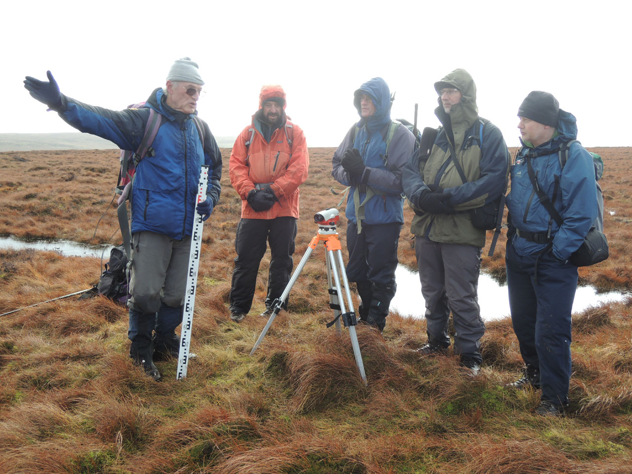
DoBIH editors on Hoove, 6 Feb 2014
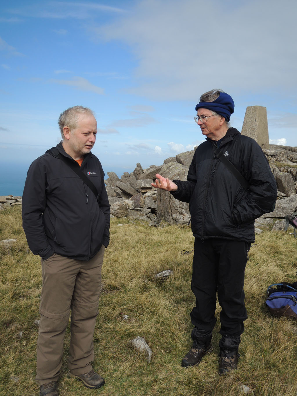
Simon Edwardes and Simon Stewart (MV) |
|
Updated 26 Aug 2025
|
|
|
visits since October 1999 |
|